Drill rigs and backhoes set up on Hobart's sloping streets are a common sight, especially during the wetter months from May to October. The equipment is used to excavate test pits and boreholes, collecting soil samples that inform the geotechnical drainage design. In a city where annual rainfall exceeds 600 mm and many properties sit on clay-rich soils derived from Jurassic dolerite, managing groundwater is critical. The team typically installs piezometers and conducts falling-head permeability tests on site. Data from these field measurements feeds directly into drainage calculations for foundations, retaining walls, and pavement subgrades. Before finalizing any drainage scheme, engineers also run a permeability field test to confirm in-situ hydraulic conductivity, and cross-check with infiltration testing when designing soakage pits or French drains.
In Hobart's dolerite terrain, perched water tables can rise over a meter in 24 hours. Drainage design must be dynamic, not static.
Methodology and scope
- Site walkover and mapping of surface drainage features
- Installation of standpipe piezometers for water-level monitoring over at least one winter season
- Laboratory tests for saturated hydraulic conductivity (AS 1289.6.7.2) on undisturbed samples
- Numerical modeling of seepage using SEEP/W or similar code
Local considerations
A recurring mistake by builders in Hobart is assuming that surface grading alone will keep basements dry. Without a proper geotechnical drainage design, water migrates laterally through dolerite fractures and emerges weeks later inside the structure. The result is hydrostatic pressure buildup that can crack foundation walls or lift slabs. Contractors then face costly retrofits: installing sump pumps, cutting floor slabs, and waterproofing from the interior. The correct approach is to characterize the subsurface drainage regime before construction — not after the first leak appears. A few thousand dollars spent on site investigation and drainage design saves tens of thousands in remediation.
Explanatory video
Applicable standards
AS 1726:2017 Geotechnical site investigations, AS 4678:2002 Earth-retaining structures, AS/NZS 1170.2:2021 Structural design actions (wind and water loads), AS 3500.3:2021 Plumbing and drainage (stormwater)
Associated technical services
Subsurface drainage design for basements and slabs
Design of perimeter drains, weeping tiles, and geocomposite drainage boards to control groundwater around below-grade structures. Includes flow-rate calculations, pipe sizing, and filter layer specification.
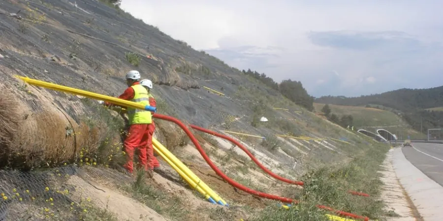
Slope drainage and erosion control
Design of benched drainage systems, interceptor trenches, and rock-lined channels for cut slopes and embankments. Incorporates stability analysis under saturated conditions using AS 4678.
Typical parameters
Frequently asked questions
Why is geotechnical drainage design important in Hobart?
Hobart's combination of high winter rainfall, clay-rich dolerite soils, and steep topography creates a high risk of subsurface water accumulation. Without proper drainage design, water can saturate foundation soils, reduce bearing capacity, and cause differential settlement or hydrostatic uplift. The design ensures water is safely collected and redirected away from structures.
What site data is needed for a drainage design?
Essential data includes soil profiles from test pits or boreholes, in-situ permeability test results, groundwater level monitoring over at least one season, and laboratory values for saturated hydraulic conductivity. Topographic survey and local rainfall intensity data are also required.
How much does geotechnical drainage design cost in Hobart?
The typical cost for a residential drainage design report ranges from AU$1,270 to AU$3,860, depending on site complexity, number of test pits, and required laboratory tests. For larger commercial projects, fees scale with scope and may exceed AU$6,000.
How long does a drainage design project take?
A straightforward residential design can be completed in 2 to 3 weeks. If groundwater monitoring over a full winter season is required, the timeline extends to 4 to 6 months. The team prioritizes sites with existing borehole data to reduce investigation time.